
Ghosts are everywhere if you know where to look.
Tombstone Arizona.
Everyone knows of it, has heard of it, it’s famous.
Tombstone was not just an isolated town in the desert. As is common in mining towns, multiple communities sprang up in the hills and valleys surrounding Tombstone. Some offered support services in the way of goods and transportation, others provided mills for the ore and still others had mining concerns of their own.
About 16 miles East of Tombstone lie the towns of Gleeson, Courtland and Pearce. You can visit them by way of “The Ghost Town Trail”, our destination for today.

Gleeson Road is a rollicking two lanes of fun leading into the Turquoise Mountains.
Gleeson is the first town you come to. Our research showed many ruined buildings, but we found them to be located behind fences, intermixed with occupied properties. It’s so small that at highway speeds it’s easy to fly by. We didn’t see anywhere to park so we drove by and admired the old buildings from the road.
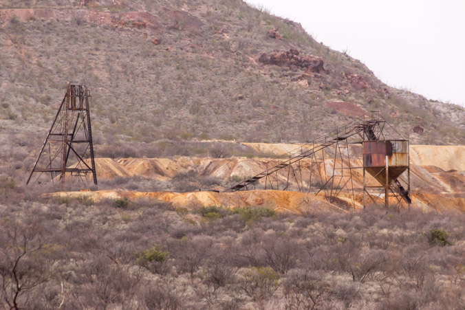
There was a headframe on the mountain.

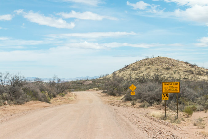
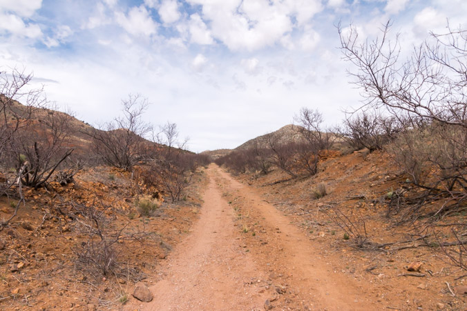
The rest of the Ghost Town Trail is on a well graded dirt road.
The turn off is about a mile past Gleeson.
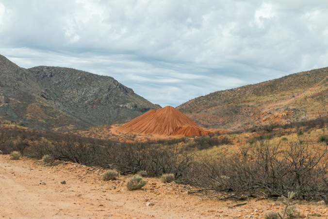
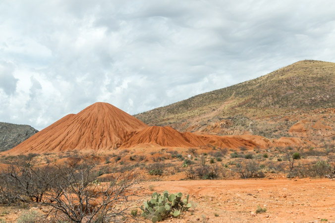
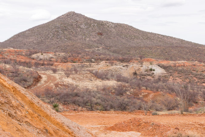
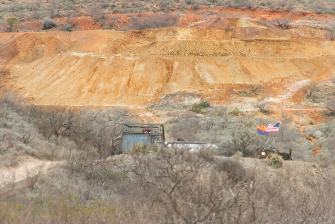
The first thing we saw was this intriguing orange hill.
It demanded investigation.
Not much to see out here except a few mining remains. A piece of conveyor belt, cans, wood and some cables.

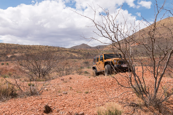
This road was not well graded and required some 4 wheeling. Part of it was a wash.
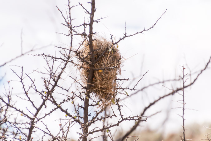
 There were hundreds bird nests in the trees.
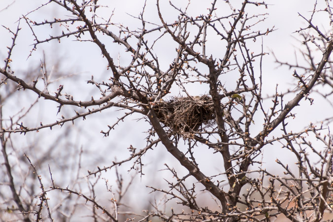
Different types but no birds.
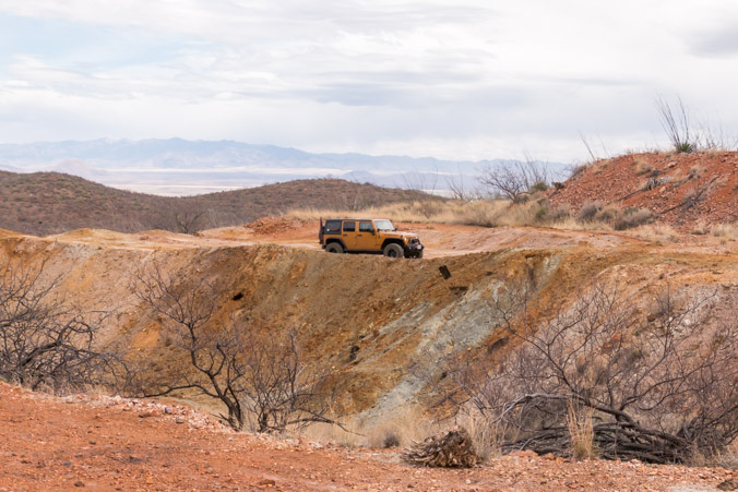
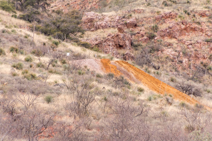
Driving around the hills we could see piles of dirt everywhere but we weren’t sure whether it was natural erosion or more mining evidence.
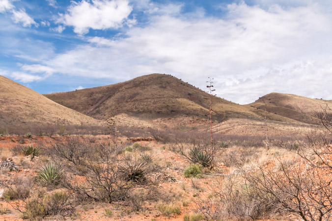
This is beautiful country.
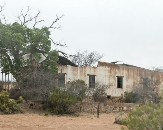
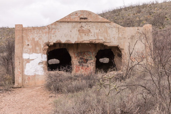
More ruins appeared right next to the road.
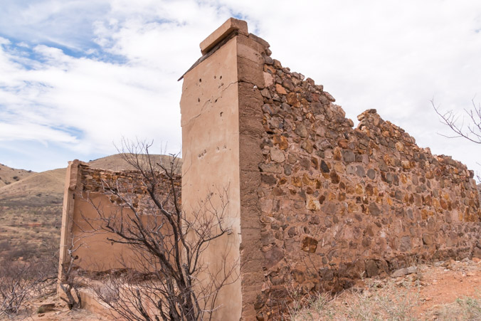
These are the ruins of The Big Rock store named by John Rock. At one time the largest store in town.
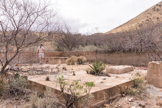
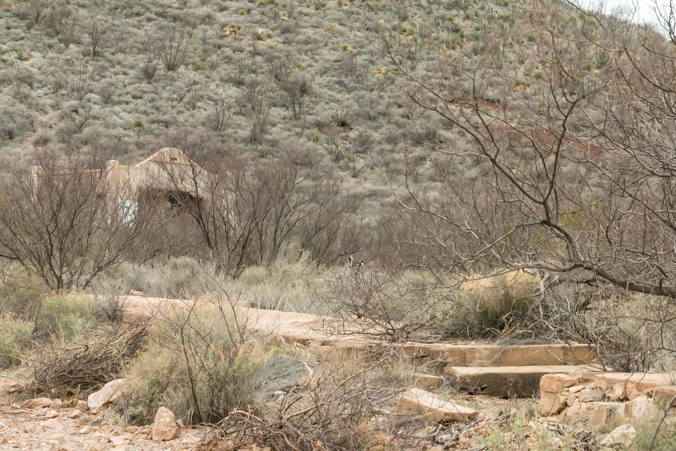
Two buildings on the hillside were the offices of the Great Western Copper Company.
This ruin may have been the mine superintendent’ house.

While we were admiring the buildings, a nice gentleman in another Jeep stopped to talk to us. He was from the area and explained that there were more ruins up in the mountains. We were very happy for the information since you couldn’t see anything from the main road.
Adventure here we come!
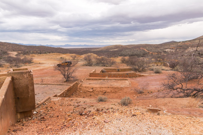
First stop, a huge tailings pile.
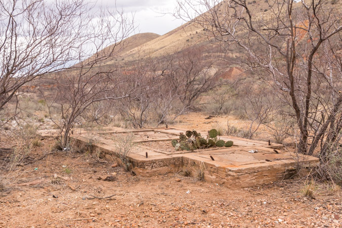
Lots of foundations, must have been a mill.
Jeff examines a hole in the hill.
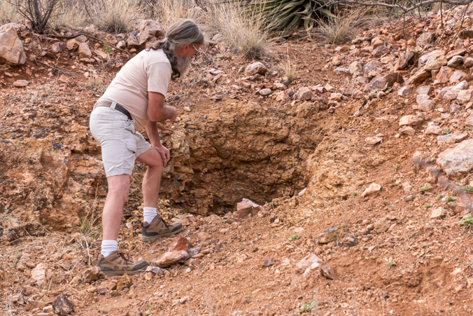
He likes to throw a rock in and listen until it hits the ground. This one took a while, it was pretty deep.
The road meanders around hundreds of mines. They’re on the side of the mountain, in the valleys, next to the road, everywhere!
Some had signs and small fences, most were illegible.
The valley’s are full of them.

Hard to see… but is that a structure on the left side of the picture?
Yes it is!

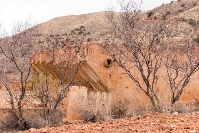
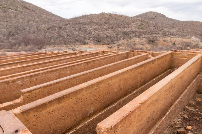
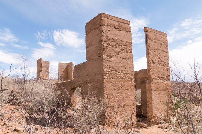
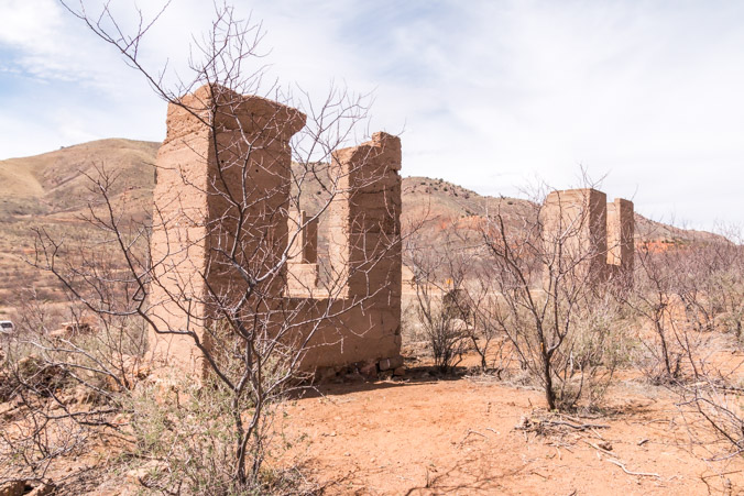
This was such an interesting set of ruins. I researched them and found this explanation from another blog about Courtland.
Just to the west of downtown Courtland near the old Mame Mine is a set of interesting concrete structures. For those of us who grew up around modern copper mining operations the sight of all of the old tin cans lying around indicated to us immediately what these structures were about. They were part of a copper precipitation process called “Copper Cementation”. Copper precipitation was not the mining technique used in the original days of the Courtland Mines. These structures are from “modern” times.
This operation was conducted by the Paramount Mining Company during the 1960’s. The seven cells, each with two sections, were constructed in 1960. The cells were filled with shredded tin cans. Sulfuric Acid mixed with water taken from one of the shafts was sprayed onto drill holes over the old mine stopes. As the solution percolated down through the rocks of the old mine, the remaining copper was leached out. The resultant copper sulfate solution was pumped out of the mines onto the tin cans where the copper precipitated out. The cement copper was loaded onto trucks and taken to the Inspiration Plant in Miami to be refined. In the mid 60’s, there were as many as 7 employees working 3 shifts per day. 16 tons of concentrates were shipped a week with a value of 70-85% copper. It is unknown why the operation shut down, but it had closed by 1968 or so.
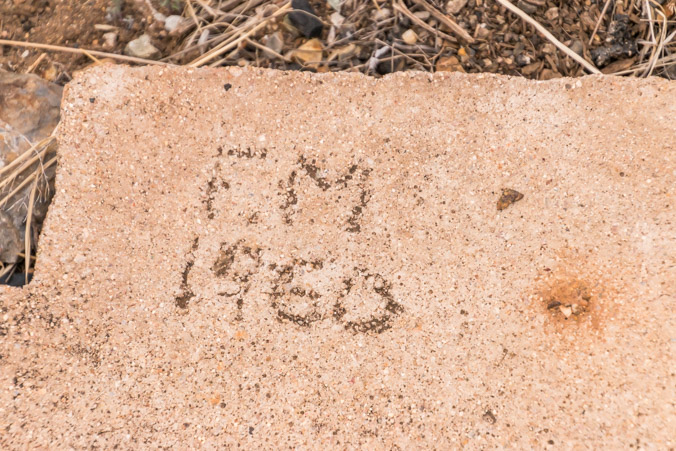
That explains this cement mark on this foundation.
The only “shaft” was this hole, it went down about 15 feet and opened into a large room. All other mining activity was surface work.

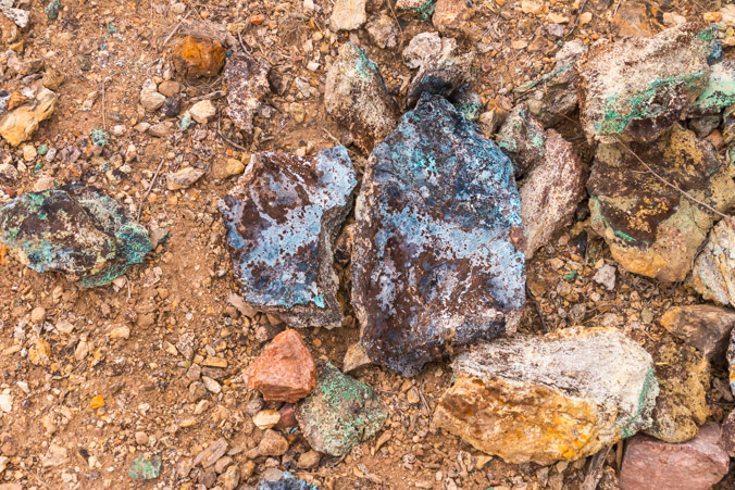
The tailings still had lots of color.
Unfortunately the road into the mountains ended here at a gate. Apparently someone owns and is actively mining the next valley over.
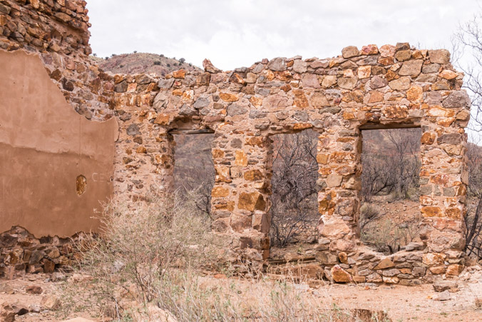
Retracing our steps, we continued on the main road until we came to the area which was “Downtown” Courtland.
The only building remaining is the old jail.
The original doors and some of the window grills were removed for use in jails in other cities.

The building itself still stands because it was constructed as a complete cage.

Across the street from the jail, the sidewalk and foundations of the buildings of Main Street can be seen among the weeds.
Historical photos and in depth information about the area can be found in Arizona Backcountry Adventures blog. Courtland was a highly developed town.
The third town on the trail, Pearce was still 10 miles away. It’s still populated today and since the weather was beginning to turn against us we decided to turn back.
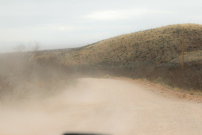
Dust storms were kicking up, clouds were rolling in but by the time we got back to Gleeson the weather had calmed down. We decided to give it another chance and drove down the only road we saw, past an old store.

Across the road from here sits another old jail, built in the same style as the Courtland jail. The Gleeson jail has been refurbished and turned into a small museum which is run by Joe Bono the son of the man who owned this store. Unfortunately we didn’t notice it the first time around and it was closed by the time we got there.
We did get a closer look at the mine workings.
The road we were on, led into a residential area with private gates. They didn’t seem to be welcoming of people wandering around the ruins. We left Gleeson for the second time and continued on our way back toward home.
About a mile from our campground was a sign pointing to Fairbank Historic Townsite. We’d stopped there once before but it was crowded. Today, it’s not quite dark yet and there’s a parking space available. Being the diehards we are, of course we have to stop.
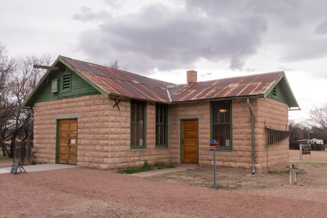
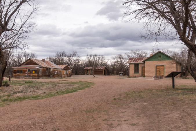
Fairbank was an important rail stop located next to the San Pedro river. The mills of Contention City were nearby and the railroad took silver and ores from Tombstone and brought goods and services in to support the people and the mines.
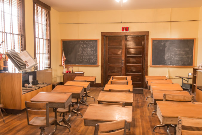
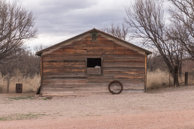
Fairbank was a bustling, thriving community which boasted this one room schoolhouse, preserved and overseen by BLM.
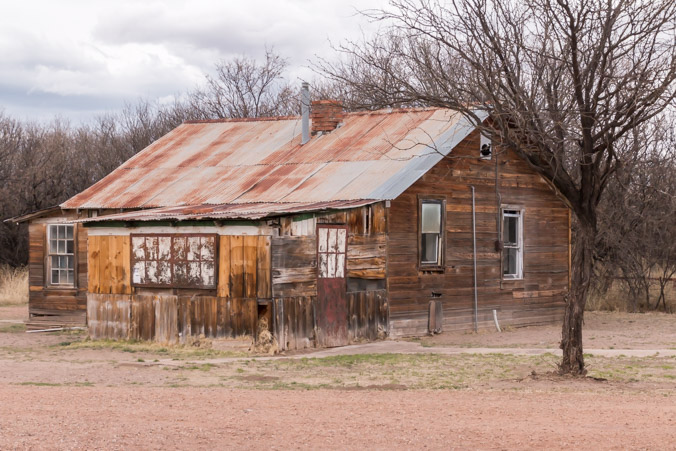
This was the schoolteachers house.
A few outbuildings still exist but most need some restoration.

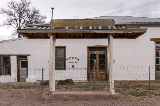
During it’s lifetime, the Fairbank commercial building has held a store, a saloon and even the jail.
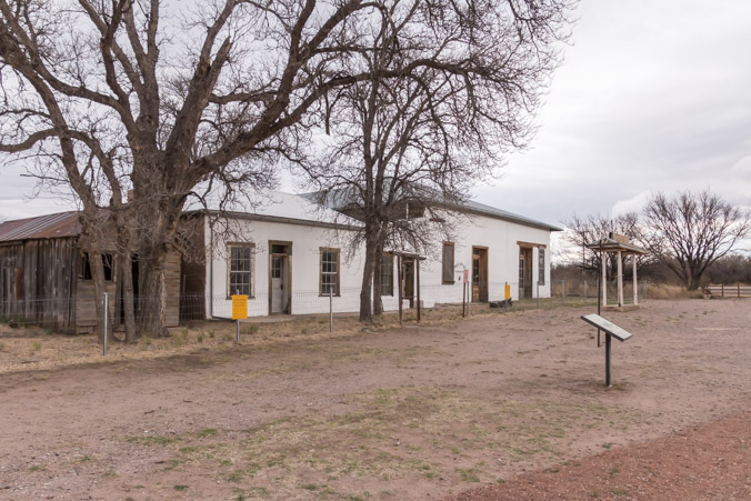
Most recently it was the post office which operated until 1970.
Informational signs, which show and explain what the town looked like in it’s heyday, dot the park and tent camping is allowed.
The San Pedro River Riparian corridor has been preserved as a wildlife sanctuary and a 3.8 mile, level, loop trail leads down to the river and past some of the old mill foundations. Very little evidence of the mills exist though. The mills were dismantled and reused elsewhere, settlers carried off the remaining material and later the military used it as a training area and anything left was destroyed.
It was getting pretty dark but we wanted to explore a little of both ends of the trail.
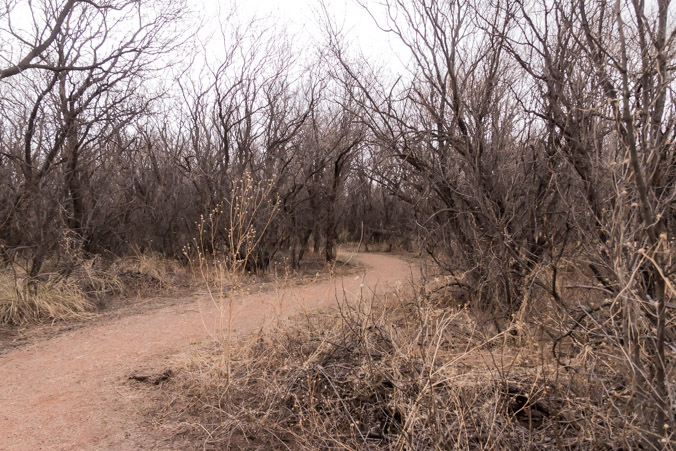
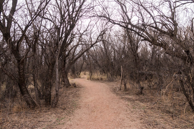
It’s such a great looking trail I want to go further!
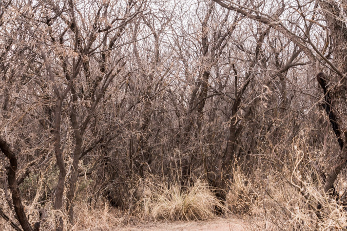
This side has interesting vegetation.
The other side is closer to the mills and along the trail we saw strange metal pieces.
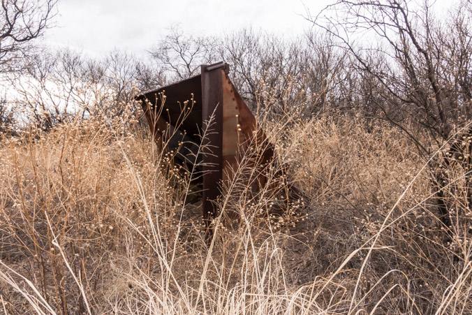
I have no idea what this was or if it has anything to do with the mills.
The sad thing is, we’ve been passing this park every time we go anywhere and never bothered to stop. Now that we have, it’s too late to explore and tomorrow we leave for Texas. If there’s one thing I’ve learned, it’s that there’s always more to see and sometimes the coolest stuff is the stuff we pass by.
Goodbye Fairbank! Maybe we’ll be back someday!

Great detail-very interesting. My stepfather, Johnnie, who is no longer with us,was always visiting & photographing this type of historical settings. John & my Mom had an Airstream outfitted with extra batteries, etc. which they towed with a Suburban. Had a lot of fun traveling to remote areas. Great shots. Shelby
LikeLiked by 1 person