Never trust first impressions, you might miss out on a spot like this.
We got lost trying to find this place and ended up driving through fields and questionable towns and all the while, the GPS kept telling us to turn on roads that did not exist…
This is Mt View Rv park in Metolius, Oregon.
We were trying to find a park close enough to both the Ochoco forest and Sisters Oregon and having no luck. Despite the less than stellar web site, I decided to try this place.
The address is listed as Jefferson street but what it doesn’t tell you is that Jefferson is also called Culver Highway. It’s smack in the middle of huge fields and surrounded by little residential pockets that at first glance don’t look very welcoming.
We drove the wrong direction, finally got turned around and by sheer luck found the park even though the signs are pretty well concealed by vegetation.
Our first impression was of a “full timers” park, no frills but the rigs were all nice and well kept so we decided to stay. The notice on the board gave us the choice of 2 spots in front and I chose the trees of course.
As we were setting up, the birds were singing and I began to notice little personal touches everywhere including this cute wind chime right outside my door.

As we settled in we heard a train go by in the field across the road but it wasn’t too loud and in fact was kind of a nice homey sound.
The next morning the charms of the park were more apparent. The trees and fields are gorgeous, it’s very quiet here. There is some road noise certain times of the day but again not bad at all. There is constant birdsong. Birds of every kind and quail running too and fro through the park. Across the street there are a few goats and down the street is an alpaca farm and store. It reminds me of home.
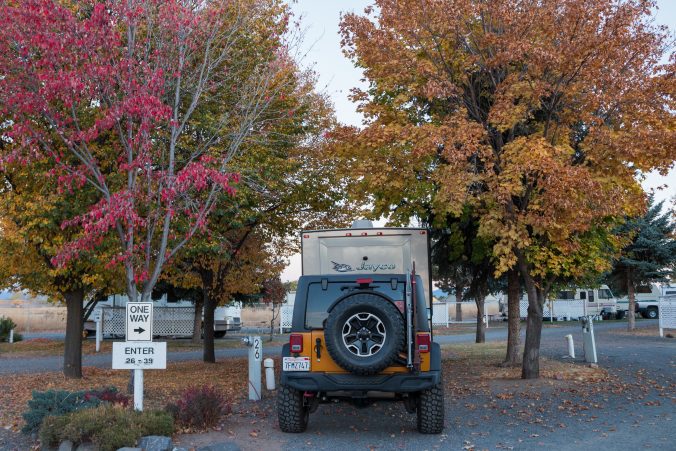
Glorious fall color!
On the drive up from Mt Lassen there were a few surprises. Lake Shasta during drought, I’ve never seen it so low.


Mount Shasta with no snow…

…and this interesting rest stop, off highway 97, called Grass Lake.

The information kiosks state that the area used to be a lake and there was a popular hotel in the 1900’s but a dynamite blast caused a hole in the lake and all the water drained into the porous volcanic rock below, creating a grassy marsh. It’s dry right now but during the rainy season it becomes a marsh. Every year hundreds of rare spotted salamanders cross the road to get back to the marsh and water birds come to rest.
According to a sign, the picture below shows a natural lava tube which also drains the water and no one knows where it all goes.

There is a lovely little trail around the edge, far away from the cars.

you can even make new friends…

He was quite the conversationalist.
We finally found all of the water…it’s in Upper Klamath Lake. It goes on for miles next to the road.

Tomorrow I planned a road trip out highway 26, through Prineville and up into the Ochoco forest to visit some intact Mercury mines, so went to bed early in anticipation of more driving…
